|
Bachmann Haller Imfeld & Co. |


|
The following services are an excerpt form our services. |
|
Service List |


|
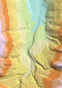
Spatial analytical tasks are inherently complex and need a profound understanding. We can provide support for GIS projects from data aquisition (e.g. GPS, photogrammetry, aerial flight campaigns, lidar campaigns) throughout the whole processing and analysis to the final cartographic product generation. |
|
GIS Support Services |
|
GIS Systems are integrated and integrative platforms that require a comprehensive knowledge from hardware to operating systems to web enabled services. We provide support and technical assistance for Unix based systems from setup to administration including system maintenance. |
|
Unix System Support for GIS Environments |
|
Spatial data management today means not simply aquiring and storing data. Archiving and online spatial database access are only two topics that need professional coverage to make your organization successful for the next decades. We have years of experience successfully managing terabytes of data. Knowledge we offer to share with our clients. |
|
Consulting for spatial data management |
|
In medical environments, analytical tasks are often as complex as spatial analysis. Knowledge about how to build databases without flaws is essential for successful and error free analysis of medical data. Building successful databases goes much beyond technical aspects of database normalization. We provide consulting for complex database solutions especially in research environments. |
|
Consulting for medical databases |